

DJI Mavic 3 Enterprise Series
Your Everyday Commercial Drone
The DJI Mavic 3 Enterprise Series combines professional imaging, portability, and enterprise flight tools in a compact platform built for mapping, surveying, inspection, public safety, emergency response, and other commercial operations.
The series includes three models. The DJI Mavic 3E is designed primarily for surveying and mapping workflows, while the DJI Mavic 3T adds thermal imaging for inspection and response applications. The DJI Mavic 3T Advanced builds on the Mavic 3T with an upgraded thermal module for more detailed thermal imaging.
Terra Excel Drones supplies DJI Mavic 3 Enterprise Series solutions in Alberta and across Canada and can help organisations compare the Mavic 3E, Mavic 3T, and Mavic 3T Advanced for their operation.
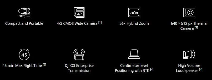
Compact and Portable
The Mavic 3 Enterprise Series uses a compact, foldable design that can be carried easily and deployed quickly in the field. Its portable aircraft platform combines professional imaging and enterprise flight capabilities in a system designed for efficient field deployment.
Two Models for Different Enterprise Applications
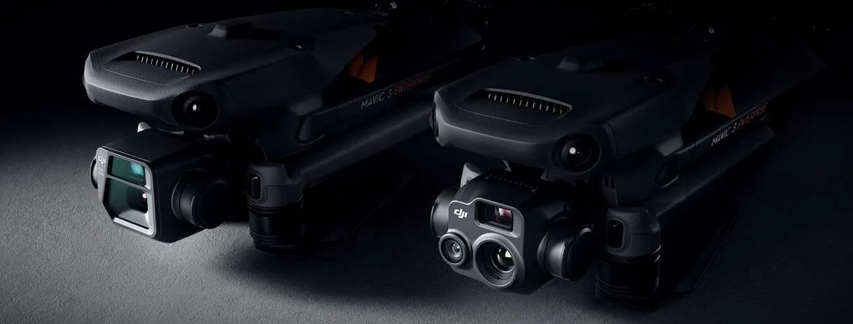
DJI Mavic 3E
Built for surveying, mapping, construction, and geospatial data collection.
Wide Camera
4/3 CMOS, 20 MP
Mechanical shutter
Tele Camera
162 mm equivalent focal length
12 MP
56× hybrid zoom
DJI Mavic 3T
Built for thermal inspection, public safety, emergency response, search and rescue, and other operations that combine visual and temperature data.
Wide Camera
24 mm equivalent focal length
48 MP
Zoom Camera
162 mm equivalent focal length
12 MP
56× hybrid zoom
Thermal Camera
61° diagonal field of view
40 mm equivalent focal length
640 × 512 resolution
Camera Performance
Mavic 3E Low-Light Imaging
The Mavic 3E wide camera uses 3.3 μm pixels and an intelligent low-light mode to improve image quality in dim conditions.
Mavic 3E Mapping and Surveying
The Mavic 3E uses a 4/3 CMOS, 20 MP wide camera with a mechanical shutter and supports shooting intervals as fast as 0.7 seconds. Its imaging capabilities support surveying workflows without adding or marking Ground Control Points, helping teams collect mapping data more efficiently.
Mavic 3T Thermal Imaging
The Mavic 3T includes a 640 × 512 thermal camera with point and area temperature measurement, high-temperature alerts, colour palettes, and isotherms.
These tools support inspection, public safety, emergency response, and other operations where teams need to identify and compare temperature differences in the field.
Thermal and Zoom Comparison
The Mavic 3T supports continuous side-by-side thermal and zoom viewing, allowing operators to compare visible and thermal information during inspection and response workflows.
Flight and Charging Performance
The Mavic 3 Enterprise Series is designed for longer field operations while maintaining the portability of a compact aircraft platform.
- Up to 45 min maximum flight time
- Up to 2 km² surveying area in a single flight with the Mavic 3E
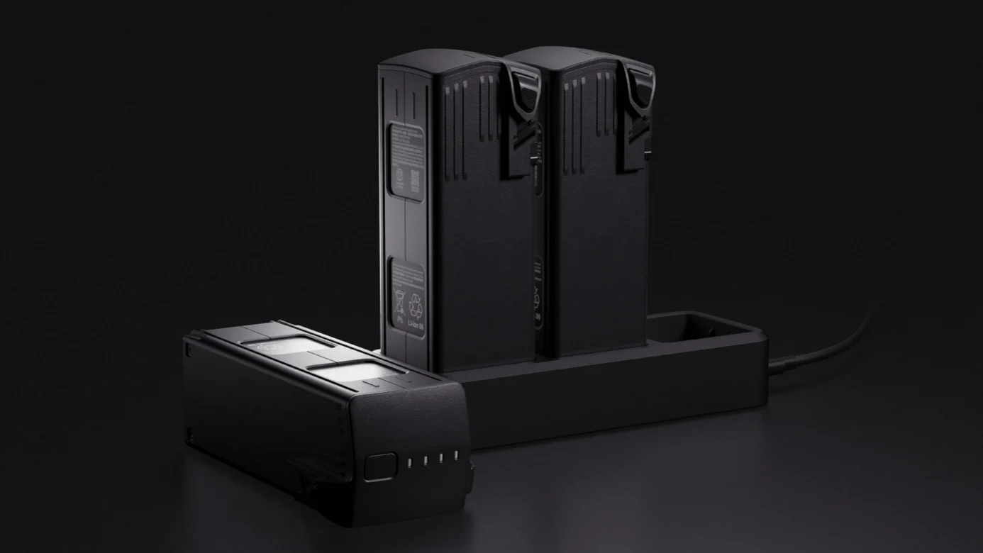
- 100 W charging hub
- 88 W aircraft charging
Actual flight time and surveying coverage vary with flight conditions, mission settings, aircraft configuration, and the operating environment.
DJI O3 Enterprise Transmission
The Mavic 3 Enterprise Series uses DJI O3 Enterprise transmission with a quad-antenna system designed to maintain stable video and control connections across changing operating environments.
Obstacle Sensing and Return to Home
Wide-angle vision sensors positioned around the aircraft provide omnidirectional obstacle sensing to support awareness during flight. Operators can adjust obstacle proximity warnings and braking distance based on mission requirements.
Advanced Return to Home
Advanced RTH automatically plans a return route based on the aircraft’s surroundings and current flight conditions, helping the Mavic 3 Enterprise Series return efficiently when Return to Home is activated.
APAS 5.0
APAS 5.0 uses information from the aircraft’s sensing system to identify obstacles and automatically adjust the flight path around them when supported.
DJI Mavic 3 Enterprise Series FAQ
Common questions about the DJI Mavic 3E and Mavic 3T, answered by Terra Excel Drones.
What is the difference between the DJI Mavic 3E and Mavic 3T?
The DJI Mavic 3E is designed primarily for surveying, mapping, construction, and geospatial workflows. It uses a 20 MP 4/3 CMOS wide camera with a mechanical shutter and also includes a tele camera.
The Mavic 3T combines a 48 MP wide camera, tele camera, and 640 × 512 thermal camera for thermal inspection, public safety, emergency response, search and rescue, and other operations that require visible and thermal imaging.
Does the DJI Mavic 3 Enterprise Series support RTK?
Yes. The Mavic 3 Enterprise Series supports centimetre-level positioning with an RTK module, giving professional teams an additional positioning option for surveying, mapping, and other precision workflows.
Is the DJI Mavic 3 Enterprise Series waterproof?
No. DJI specifically states that the Mavic 3 Enterprise Series is not waterproof. Operators should consider weather and environmental conditions when planning flights.
Where can I buy the DJI Mavic 3 Enterprise Series in Canada?
Terra Excel Drones supplies DJI Mavic 3 Enterprise Series solutions in Alberta and across Canada and can help organisations compare the Mavic 3E and Mavic 3T based on their imaging, thermal, mapping, and operational requirements.
Buy the DJI Mavic 3 Enterprise Series in Canada
Choosing between the Mavic 3E and Mavic 3T starts with the data your operation needs to collect.
Terra Excel Drones can help organisations compare camera capabilities, thermal imaging options, RTK, accessories, and workflow requirements to select the Mavic 3 Enterprise configuration suited to their operation.
Your DJI Authorized Reseller in Alberta.
Phone: 1 (780) 924 3525 · Toll Free: (877) 383 1974
info@terraexceldrones.com
11602 88 Ave #176, Fort Saskatchewan, AB T8L-0K1
Explore: Matrice 350 RTK · Matrice 300 RTK · MATRICE 30 SERIES · Repairs · Contact Us