1. Unobstructed, free of interference, when FCC compliant. Maximum flight range specification is a proxy for radio link strength and resilience. Always fly your drone within visual line of sight unless otherwise permitted.
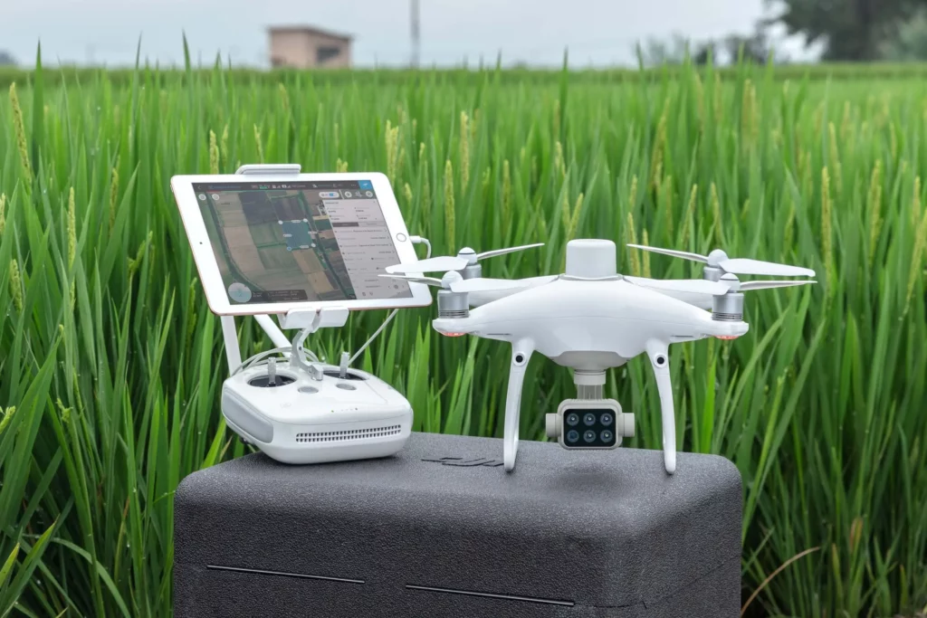
2. To connect to NTRIP, use an iPad that’s connected to the internet with the SDK Remote Controller