[1] Data was measured at sea level. The payload weight is greatly affected by the ambient temperature and altitude. The payload weight needs to be reduced by 10 kg for every 1,000m increase in altitude. The DJI Agras app will recommend the payload weight according to the current status and surroundings of the aircraft. When adding materials, the maximum weight should not exceed the recommended value, otherwise flight safety may be compromised.
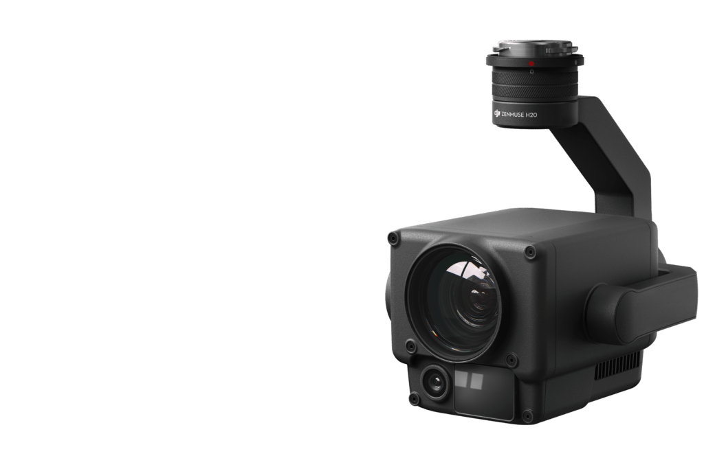
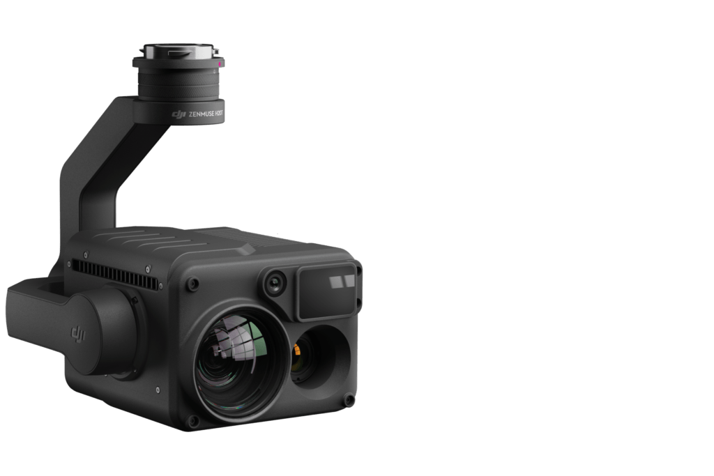
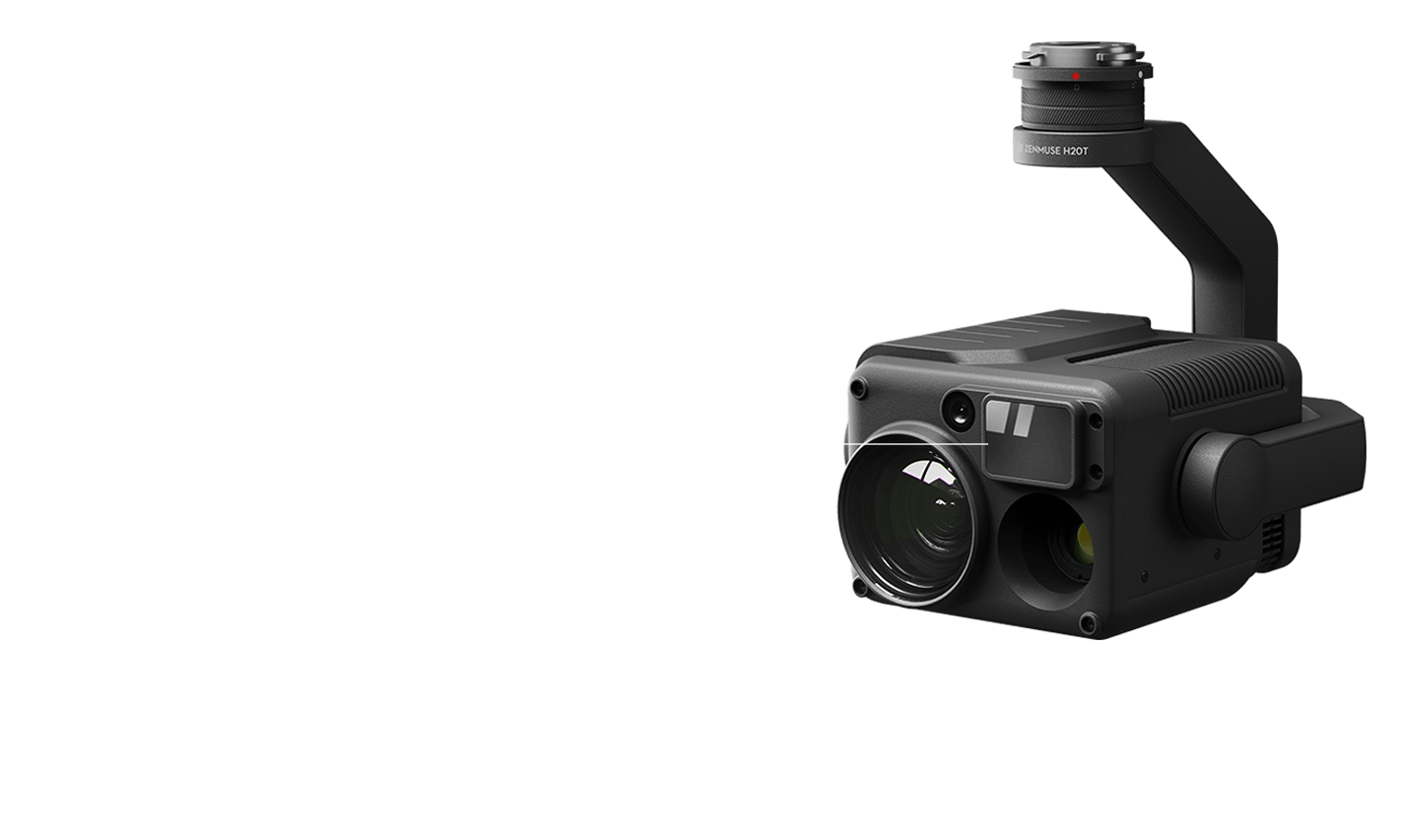
[2] The core modules include: the avionics module, radio frequency module, breakout board, power distribution board, Electronic Speed Controller, Magnetic Drive Impeller Pump, Dual Atomized Centrifugal Sprinkler, Active Phased Array Omnidirectional/Backward and Downward Radar, Binocular Vision System, UHD FPV camera, and LED supplement light. The IPX6K rating is not permanent and may reduce over time after long-term use due to aging and wear.
[3] When charging at 9 kW, an EFI generator consumes 15% less fuel compared to a carburetor generator.
[4] Data was subject to the operating environment and parameters. T40 flight parameters: consumption rate 15 L/ha, spray width 11 m, flight speed 7 m/s, flight altitude 3 m
[5] Data was subject to the operating environment and parameters. T40 flight parameters: consumption rate 75 L/ha, spray width 4 m, flight speed 3 m/s, flight altitude 2 m
[6] Data was measured with urea and subject to the operating environment and parameters. Actual data may vary in operation. T40 flight parameters: consumption rate 149 kg/ha, spread width 7 m, flight speed 7 m/s, flight altitude 3 m, spreading disc rotation speed 1,000 rpm. The area is free of obstructions and in a regular terrain shape. The fertilizers are prepared in advance and can be loaded quickly.
[7] Urea, seeds, and feed have small bulk density. The volume of their particles weighing 50 kg will exceed 50 L.
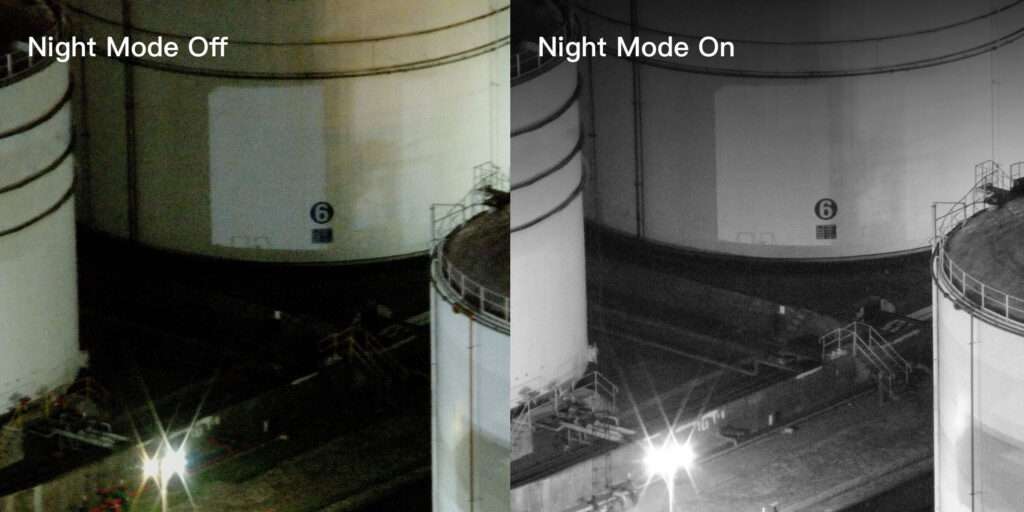
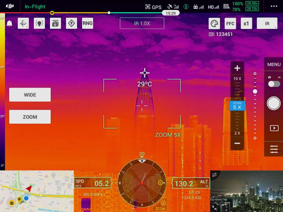
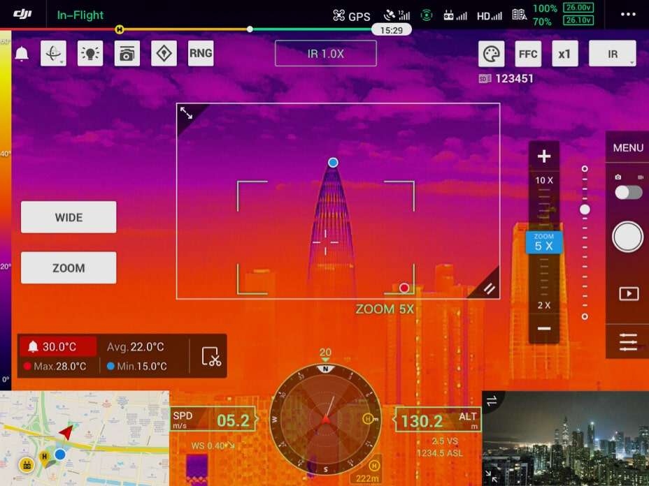
[8] The effective sensing range varies depending on the material, position, shape, and other properties of the obstacle. Pilots are responsible for flight safety at all times. The obstacle avoidance system is only an assisting tool.
[9]The Bypass function should preferably be used in environments with sufficient daylight, an incline of less than 20 degrees, small obstacles, and few electrical wires. The function is not recommended for use at night, on a rainy day, or around many electrical wires.
[10] The remote controller’s mapping time, which can be affected by the firmware version, survey type, and other relevant factors.
[11] Charging from 30% to 95%, with the number of batteries chargeable depending on the battery level, idle time, altitude, temperature, and other factors.
[12] Charging from 30% to 95%. Factors impacting charging time: the altitude of the charging station; and the battery cell’s temperature is in the range of 15° to 70°C.
[13] Batteries are covered by warranty for up to 1,500 charging cycles or 12 months, whichever ends first.